|
|
|
|
|


Location |
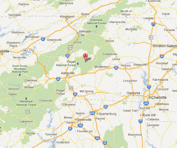
| We are in the valley of the South Toe River between the Black Mountains and the Blue Ridge, 50 miles northeast of Asheville, NC. At an altitude of 2600 feet we enjoy a cool mountain climate. We are surrounded by government forests, which protect our water and give us a beautiful area for hiking and camping. |
|
Directions via Google Maps >> |
 |
Directions To Camp Celo |
From the North on I-81: |
| Take I-26 through Johnson City towards Asheville. Take exit #9 (US 19) to Burnsville. You will pass an exit 9 in TN which is the wrong exit. |
From Burnsville: |
| Take 19-E east toward Micaville. After 4+ miles turn right to Micaville and 80 South. Go 6 miles to Seven Mile Ridge Rd. Turn left and cross a bridge. Turn right on Hannah Branch Rd. (gravel road). Camp is .8 mile. |
Via Asheville: |
| Follow signs for 19/23 North (future I-26 west) west towards Mars Hill or Weaverville. Take exit #9 (US 19) following 19 to Burnsville (Follow above directions from Burnsville). |
From I-40 and Charlotte: (not the shortest route from Asheville) |
| Take 226 around Marion. Go west on 70, 1.8 miles, then right on 80. Wind up the mountain, cross the Blue Ridge Parkway and go 7.9 miles to Seven Mile Ridge Rd. on your right. (Toe River Crafts is on your left just before this turn). Turn right, cross the bridge and turn right again on Hannah Branch Rd. (gravel road). Camp is .8 mile. |
| Home | Program | Information* | Contact Us | Employment |
| * Information | Location | Transportation | What to Bring | Health Forms | Other Details |